Background
The west coast of India is subject to both Monsoons and tropical cyclones, which affect drilling rigs movements and working locations.
The last two cyclonic seasons have been especially onerous in the area, with Vayu in June 2019, and Tauktae in May 2021, being the most severe cyclones in the area since 1990.
Scope of Work
CA Metocean was appointed by AqualisBraemar LOC (Dubai) to derive cyclonic and non-cyclonic extreme airgaps for an area offshore India. The scope of work included:
- Retrieve and calibrate (using satellite measurements) regional hindcast of wave, wind and current information across the interest area
- Retrieve cyclone track information up to June 2021
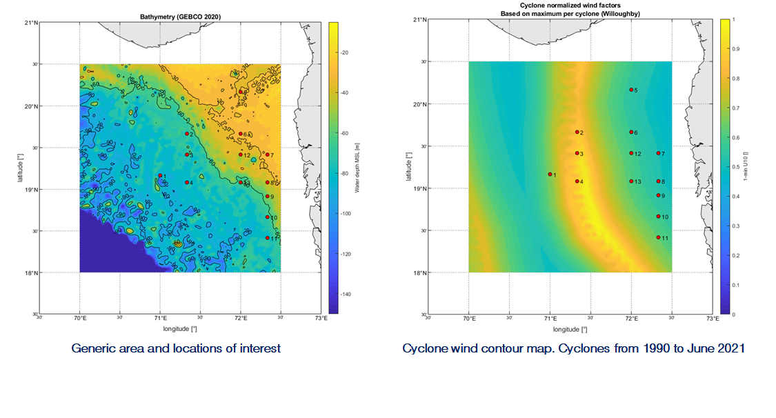
- Define the most onerous location for each metocean parameter (for cyclonic and non-cyclonic conditions) within the interest area
- Derive extreme wave, wind, current and water level conditions at a generic location as well as at 13 specific locations
Key Features
- The most onerous location for each parameter was determined by creating contour maps showing the spatial variation of each parameter
- Airgap values are derived by adding wave crest elevation and sea water level. These two parameters change in opposite ways with varying water depth and therefore airgap contour maps were created to help client planning rig operations
- Cyclonic extremes obtained showed a big increase with respect to previous metocean criteria derived in West India due to the effect of Vayu and Tauktae, which directly hit the interest area.


